


Page 317 - New Medley 5 Semester 1
P. 317
Ocean: The major oceans are the Pacific Ocean, the Atlantic Ocean, the Indian

        Ocean and the Arctic Ocean. The large water body around Antarctica is called
        the Southern Ocean. It is formed by the merging of the southern parts of the

        Pacific Ocean, the Atlantic Ocean and the Indian Ocean.


                                             Shape of the Earth

        In ancient times, people thought that the shape of the Earth was flat. Today, we

        know that its shape is like a sphere. The photographs taken by satellites show
        the spherical shape of the Earth.


                                                        Globe

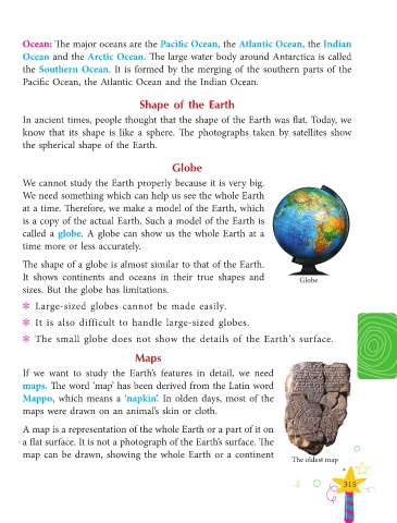
        We cannot study the Earth properly because it is very big.
        We need something which can help us see the whole Earth

        at a time. Therefore, we make a model of the Earth, which
        is a copy of the actual Earth. Such a model of the Earth is

        called a globe. A globe can show us the whole Earth at a
        time more or less accurately.


        The shape of a globe is almost similar to that of the Earth.

        It  shows  continents  and  oceans  in  their  true  shapes  and                        Globe
        sizes. But the globe has limitations.


        ?  ? Large-sized globes cannot be made easily.

        ?  ? It is also difficult to handle large-sized globes.

        ?  ? The small globe does not show the details of the Earth’s surface.

                                            Maps

        If we want to study the Earth’s features in detail, we need

        maps. The word ‘map’ has been derived from the Latin word

        Mappo, which means a ‘napkin’. In olden days, most of the
        maps were drawn on an animal’s skin or cloth.


        A map is a representation of the whole Earth or a part of it on
        a flat surface. It is not a photograph of the Earth’s surface. The

        map can be drawn, showing the whole Earth or a continent
                                                                                              The oldest map


                                                                                                              315

